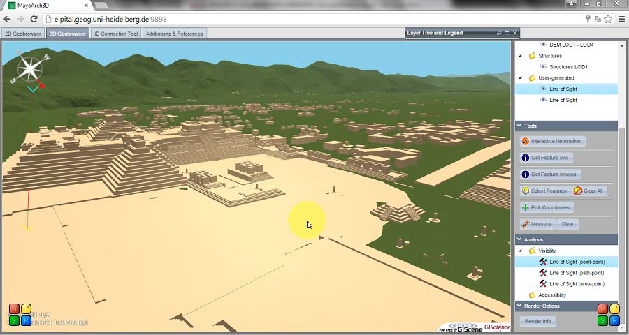
The Revitalizing and Enhancing MayaArch3D Project is revitalizing and enhancing the 3D WebGIS component of the MayaArch3D Project, which integrates 3D models of cities, terrain, and objects with associated, geo-referenced data for humanities scholarship.
Project Objectives:
- Review existing code of the 3D WebGIS
- Define concrete steps to:
- make the system more customizable and extensible
- add functionality for dynamic interchange of 3D models
- develop a friendlier UX (User Experience)
- revamp the infrastructure to store and call up 3D models from an open source repository.
Broader project outcomes enhance the humanities in several ways:
- documentation for a customizable open source 3D WebGIS
- 3D WebGIS for data management and preservation for cultural heritage
- 3D WebGIS to foster scholarly collaboration
- contribute to 3D digital data preservation and access by designing infrastructure in collaboration with libraries